
Three Routes to Behold the Ever-Changing Faces of Qixing Mountain
Did you know about the famous event "New Year's Day Climb up Qixing Mountain" hosted by the Yangmingshan Headquarters? In the early morning of January 1st every year, many passionate and energetic citizens check in on time to participate. Together, everyone breaks a sweat climbing the mountain, guarding their health, and unveiling the curtain for a brand-new year.
Qixing Mountain is the highest peak of Yangmingshan National Park. It is named after the intense volcanic activity that erupted a large amount of lava, which cooled and solidified into seven igneous rock summits of varying sizes at the volcanic crater.
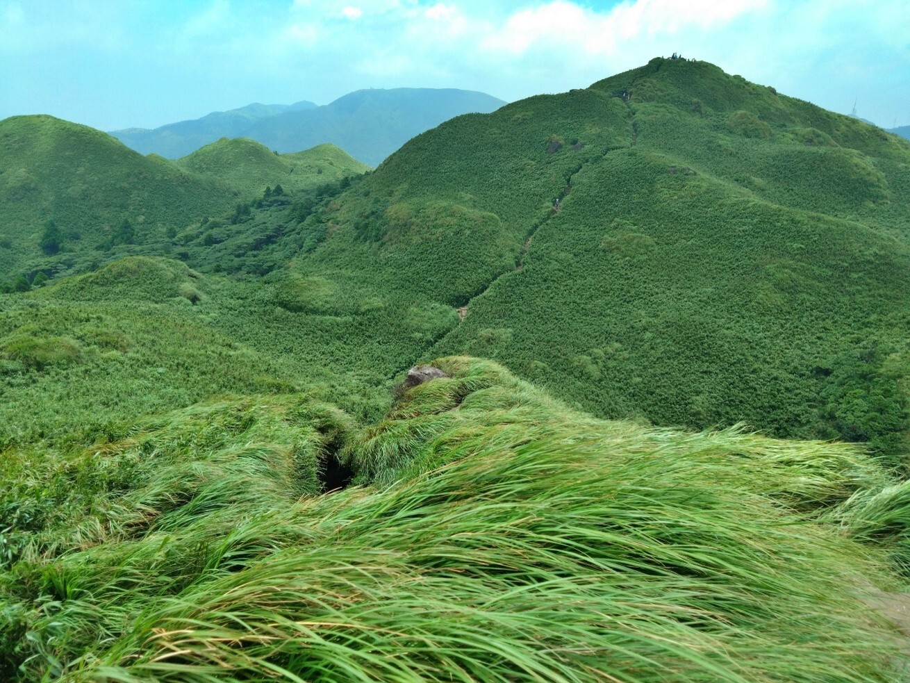
The 3 Routes to Summit Qixing Mountain
Generally speaking, Qixing Mountain has three trailheads, namely Miaopu (altitude 552m), Lengshuikeng (altitude 740m), and Xiaoyoukeng (altitude 812m).
Starting from Miaopu takes nearly 2 hours for a single trip, and this section also has the greatest height drop in ascent. Therefore, many hikers preparing to climb high mountains will pack heavy gear in advance and head from the Miaopu trailhead to Qixing Mountain as part of their physical training.
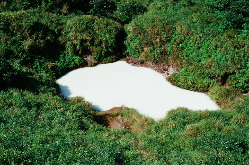
The Lengshuikeng route is a popular recreational hiking route. Starting the ascent from the trailhead opposite the Lengshuikeng Visitor Center, the route passes by a double-deck circular pavilion along the way. At the mountainside, if visibility is good, the beautiful Milk Lake can be seen looking toward the Lengshuikeng Visitor Center. Continuing onward, after passing Qixing Mountain East Peak and going down a gentle slope, you can head straight up to Qixing Mountain Main Peak upon hitting the Miaopu intersection. The one-way walk takes about 1.5 to 2 hours.
The route from the Xiaoyoukeng trailhead to Qixing Mountain is the shortest, taking about 1 hour for a single trip. However, as it serves as the windward slope for the northeast monsoon, going up the mountain from Xiaoyoukeng in winter allows one to intensely feel the blowing of level 6 to 7 winds. The wind can blow people to a wobble, hindering progress. At this time, Miaopu, serving as the leeward slope of the northeast monsoon, is less affected by strong winds, making the journey up the mountain a bit smoother.
Seasonal Highlights and Precautions
It is worth mentioning that there is a branch line along the Lengshuikeng mountain route that leads to Menghuan Lake before heading up Qixing Mountain. In late spring around May and June, the surroundings of Menghuan Lake will be full of nectar plants—Eupatorium shimadae. At that time, many butterflies, such as blue tiger butterflies and purple crow butterflies, emerge in large numbers, making it an exclusive seasonal landscape!
During the autumn season from October to November, the entire Yangmingshan hilltop is famous for being completely covered with white silvergrass. No matter which route you take up the mountain, you can appreciate the vast and magnificent scenery. It is suggested to go up the mountain from Lengshuikeng for better photography. It is particularly moving under the shroud of the sunset glow; why don't you go and try it out!

Lastly, everyone is reminded to prepare well for light hiking before climbing Qixing Mountain, downloading offline maps onto mobile phones, carrying rain gear, flashlights, etc., to prepare for unexpected needs. Moreover, it is hoped that hikers do not feed the wildlife along the way, such as squirrels and Taiwan bamboo partridges, so that both humans and wildlife can have appropriate spaces to survive!
Updated:


